UN
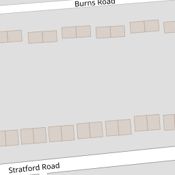
5 Burns Road
£ 233,000
Description
We don't have a Description for this property.
- Bedrooms
- 3
- Bathrooms
- 0


Leaflet © OpenStreetMap contributors
The heatmap indicates the level of crime in the area. The color of the heatmap indicates the crime severity and recency.
Metrics Year-on-Year
- Average area value
- 504,374.00 £Increased by 14.99 %
- Average area rental value
- 1,908.00 £/moIncreased by 6.95 %
- Est rental Yield
- 4.54 %Decreased by 6.97 %
- Crime Rate
- 6.00 %Unchanged by 0.00 %
from 438,614.00 £
from 1,784.00 £/mo
from 4.88 %
from 6.00 %
Nearby Schools
| Name | Type | Ofsted | Distance |
|---|---|---|---|
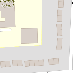
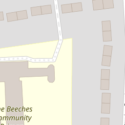
| The Beeches Community Primary School | Academy Converter | Good | 0.09 KM |
| St Pancras Catholic Primary School | Academy Converter | 0.30 KM | |
| Thomas Wolsey Ormiston Academy | Academy Special Converter | Outstanding | 0.35 KM |
| Highfield Children'S Centre | Children's Centre | 0.57 KM | |
| Highfield Nursery School | Local Authority Nursery School | Outstanding | 0.64 KM |
Images
Nearby Streets
| Name | Average Price | Average Sqft | Distance |
|---|---|---|---|
| Stratford Road | £ 245,000 | 0 | 0.00 KM |
| Meredith Road | £ 0 | 0 | 0.00 KM |
| Charlton Avenue | £ 315,000 | 0 | 0.00 KM |
| Hardy Crescent | £ 0 | 0 | 0.00 KM |
| Tyrone Close | £ 0 | 0 | 0.00 KM |
Nearby Transport
| Name | NLC | TLC | Distance |
|---|---|---|---|
| Ipswich | 7217 | IPS | 3.73 KM |
| Westerfield | 7226 | WFI | 4.08 KM |
| Derby Road (Ipswich) | 7212 | DBR | 6.80 KM |
Nearby Listings
| Address | Price | Type | Score | Distance |
|---|---|---|---|---|
| Burns Road, Ipswich, IP1 | £ 325,000 | BUY | Unknown | 0.03 KM |
| Stratford Road, Ipswich | £ 220,000 | BUY | Unknown | 0.10 KM |
| Thackeray Road, Ipswich | £ 235,000 | BUY | 7 / 10 | 0.32 KM |
| Highfield Road, Ipswich | £ 250,000 | BUY | 5 / 10 | 0.32 KM |
| Thackeray Road, Ipswich | £ 275,000 | BUY | 7 / 10 | 0.35 KM |
Nearby Properties
| Address | Price | Distance |
|---|---|---|
| 24 Burns Road | £ 225,000 | 0.00 KM |
| 8 Burns Road | £ 145,000 | 0.00 KM |
| 5 Burns Road | £ 233,000 | 0.00 KM |
| 9 Stratford Road | £ 155,000 | 0.10 KM |
| 2 Stratford Road | £ 185,000 | 0.10 KM |